
See our (simplified) orienteering map of Luxembourg !
May 30th Luxembourg orienteering
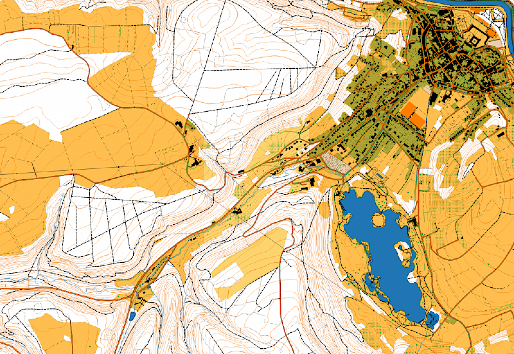
Following the example of open orienteering map, we now have our own simplified orienteering map of the whole country: See HERE !
This map is not a proper orienteering map of course but may be used for some kind of events such as street orienteering, trail running orienteering and mountain bike orienteering. The maximum scale is approximativelly 1:15000. If you want a proper printable PDF file of an area, ask us !
Posting comments on older news allowed only to logged-in members.